


Andri Hernandi
According to Ministerial Regulation No. 4 of 2016, there are details of local authority scale Village in the fields of health, infrastructure, public facilities, waters, settlements, and community. The details of the management authority make the village know the characteristics of the region and society well. Therefore, the system village information is attempted to help organize the city and village governments To be maximal. See the authority of the village that is inseparable from the interests of information the characteristics of the region, then spatial information is sought to be integrated into in village information systems. The spatial information referred to here is information LAND. Although full authority about land ownership and licensing is managed by the National Land Agency, the authority regarding the tax liability of land use of the Regency / City Government and the Directorate General of Taxes, and the Authority of Spatial Arrangements An area is regulated by the Regional Development Planning Agency, the construction of the land information system in the village A good can help the land system coverage in the government. Villages can provide information land in the area which can then be verified by each Government institutions / institutions. This makes the implementation of the implementation Government activities can run efficiently.
Application of appropriate technology, how many artwork / design / architecture / regional planning
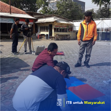
Pakutandang Village, Bandung Regency does not have data management that can be integrated with spatial data. Population data is still stored in file format .pdf, while spatial data such as topographic data and village maps are still not available so that it is difficult for the village to carry out land management and population. In addition, the storage of village potential data is still stored in the format .docx. All data is still not integrated even though it has been stored in digital form.