


Agung Budi Harto
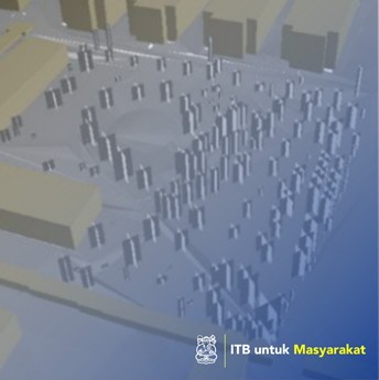
Development of 3D spatial databases for city planning and landscape design based on citygml open structures. The purpose of this study is, 3D recording with several detailed levels of plants for landscapes and city modeling destinations. This method uses photogrammetric technology and laser scanning to form a 3D plant model that can then be used to extract semi-automatic information plants for use in the construction of information systems in Citygml. This study produces a 3D tree model that has different information based on display, geometry, semantics, and aspects of topology in citygml. Keywords: 3D Spatial-Temporal Database, City Development, Landscape Design, Citygml Structure.
Application of appropriate technology, how many artwork / design / architecture / regional planning
-