


Agung Budi Harto
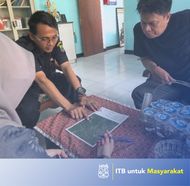
The Citarum River area is the largest and longest river region in Javanese province, the upper upstream of the Citarum River comes from the foot of Mount Wayang and boils down to the Java Sea. The watershed (watershed) is a plain area that is limited by a hill back that serves as a recharge area, rain water storage and also as water flow. The Citarum River is an important resource in helping agriculture, availability of water, fisheries industry, and electrical production in West Java. The Citarum River plays an important role in supporting life and the economy of residents in Cinangsi Village for everyday life. The purpose of this community service is, making WebGis Village Cinangsi. The method used is, an approach to the topomini and sampling land cover and public and social information retrieval. The results of this dedication are the terrible websig village of Cinangsi as a solution to overcome the problems in the village such as in the data collection, UN and data collection of utilities. The existence of Websig, the village can apply it and can overcome village problems with an integrated, effective and easy to use system. Keywords: WebGis, solutions to solve problems with the system, Cinangsih Village.
Application of appropriate technology
There are no problems