DPMK ITB
PENGABDIAN
LAYANAN KEPAKARAN
PRIMA
JURNAL ITB
Filter
Region
Ring 1 : Greater Bandung and ITB Neighborhood
Ring 2 : West Java
Ring 3 : Java Island
Ring 4 : Outer Java Island
Ring 5 : Border of Indonesia, Frontier, Outermost and Least Developed Regions
Sort
Sort
A-Z
Z-A
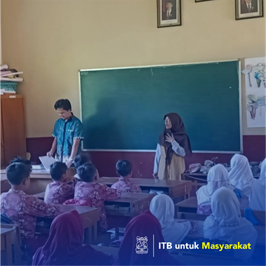
The application of augmented reality technology in the teaching companion book for elementary school students in physics subjects
2019
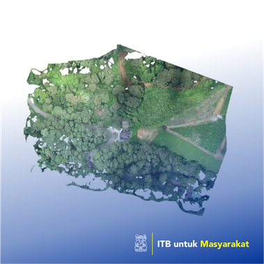
Implementation of geographic information systems for mapping and agricultural commodities
2020
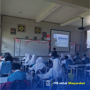
Assistance for implementing Math Camp Mandiri by elementary school level teachers
2019
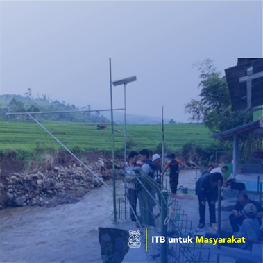
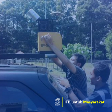
Application of technology in the development of an early warning system for the South Bandung flood area
2015
Analysis of Changes to Guntur Volcano Products to Increase the Accuracy of Garut Regional Disaster Risk Map, West Java
2016
Development of Planting Calendar Information Systems for Planning Agricultural Activities in Indramayu to Increase Agricultural Productivity
2015
Construction of a geographic information system that is integrated with Building Information Modeling on the ITB Jatinangor campus for better management of facilities and infrastructure
2016
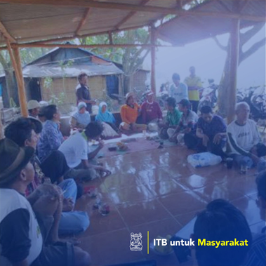
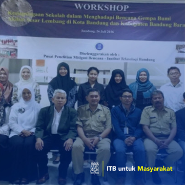
School Assistance Through Dissemination of Earthweight Disaster Risk in Bandung City
2016
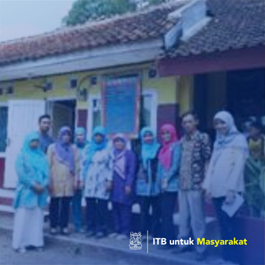
Mapping and Development of Geographic Information Systems in the Village Around the Higher Education Region, Jatinangor
2015
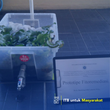
Phytoremediation prototypes of simple polluted river water recovery in an effort to improve land quality at the location of the Lingar Village Consolidation Plan, Rancaekek District, Bandung Regency
2016
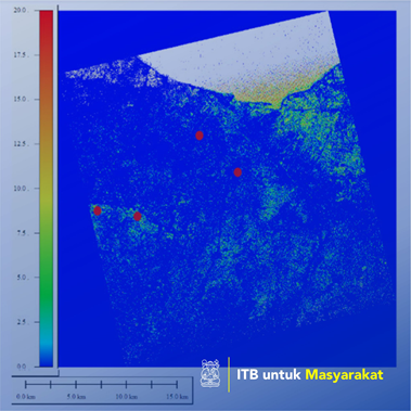
Dielectrics constant modeling of the image of Radarsat-2 as a parameter to determine the value of soil moisture
2015
Analysis of Risk Assessment of Volcanic Disaster Case Study of Guntur, West Java
2015
‹
1
2
...
133
134
135
136
137
138
139
...
143
144
›